

Our Arizona Archery Deer Hunt Giveaway Keeps Getting Better
August 31, 2018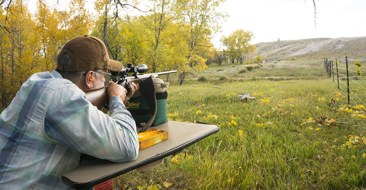
Choosing a Rifle for Your Arizona Hunt
October 1, 2018
By Zach Lazzari
When you head out on a guided hunt and your guide is constantly checking his cell phone, rest assured that he is likely using the device as a GPS tool to your advantage. Even on a wilderness hunt, this tool is excellent for navigating using imagery, detailed property boundaries and reading the terrain. Take note of the way your guides are using the unique OnX app and take those lessons home for future hunts.
Find Access with PinPoint Accuracy
Outfitters and savvy hunters are utilizing the distinct property boundaries alongside accurate GPS location tracking to access public lands more effectively. The property boundaries eliminate the questions about where public and private boundaries are located and they make it easy to really know where you stand (literally) in relation to boundaries. Traditionally, the safest bet was to access public lands from established trailheads or large, well known boundaries but now hunters are using slivers of land to sneak into prime spots. They are also connecting state, forest service, BLM and other types of public lands to be more effective at assessing terrain that was once questionable with intensive study of maps. The ability to study and make decisions on the fly is really a game changer for all hunters.
Saved Maps for Offline Use
While OnX is most often utilized on smartphones, it remains viable outside of service areas and is compatible with GPS devices as well. Saving maps for offline use on a smartphone is easy and you can still use the GPS tracking feature to show your location against the map and boundaries. Knowing where you stand on DIY or guided trips is always comforting and having that point of reference for future map study is a bonus. Saving maps at 10 square miles is ideal for focused areas but you can also use the 100 square mile feature to work a larger area.
Utilizing Layers
Customizing maps to fit your hunt is easy and the OnX layers will show you only the features that are important. The layers are somewhat different for every state but you can view public lands, private lands, game units and hunting district boundaries, roadless areas, possible access points, historic wildfire and burn areas and trails and recreation sites. The game management areas will often link through to specific regulations pages and pertinent info. Additionally, state specific programs that offer walk-in access, block management and any public access opportunity on private lands has a layer option. Lastly, the CWD or Chronic Wasting Disease layer shows the distribution of CWD as a precautionary measure for hunters in areas where the disease is prolific.
For more information on guided hunting opportunities in Arizona with Antler Canyon Outfitters, please don’t hesitate to send us a message or call Toby directly at (928) 205-8911.
